Geography
101: Earth Systems Science I* 3
credits. Earth Systems Science examines modern environmental problems through quantitative methods, analysis, and modeling grounded in basic and applied science and research. The goal of the course is to introduce students to the fundamental processes that dominate the atmosphere, hydrosphere, lithosphere, and biosphere, their characteristics and complex interactions, and their impact on human life and society. Prerequisites: None.
Geography
345: Water Resources* 3
credits. Water and water resources are critical issues for the sustenance of nearly every society. This course examines the occurrence, use, management, and conservation of water and water resources in the U.S. and around the world. It further discusses the environmental, economic, and social implications of floods, droughts, dams, and water usage as well as current issues in water quality, water pollution, and water resource regulation. Students will gain an understanding of the environmental, societal, and political impacts of water, water resources, and changes in water supply and availability, and they will be introduced to current and emerging trends in water resource issues, development, and technology. Prerequisites: GEO 101 or GLY 101
or permission of instructor.
Geography
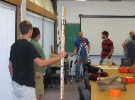
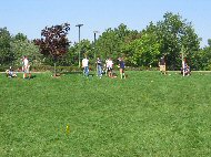
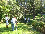
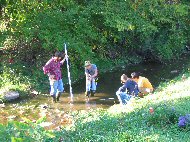
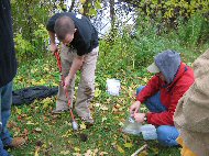
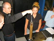
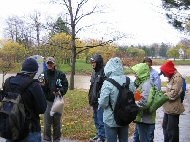
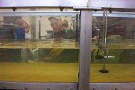
350: Landform Field and Laboratory Techniques* 4
credits. This course is intended to introduce students to data collection techniques in Earth Systems Science. Students will actively participate in the data collection, data analysis, and error determination, individually and in groups, in both field and laboratory settings. Many of the topics will be linked to relevant environmental and geomorphic issues, and points for discussion will be posed. Students will develop and enhance their skills in data collection, reduction, and analysis, analytical thinking, scientific writing, and the preparation of professional reports. Prerequisites:
GEO 101 or GLY 101 or permission of instructor.
Geography
448/548: Stream Restoration*
3 credits. Stream restoration seeks to return an impaired or degraded river corridor ecosystem to a close approximation of its remaining natural potential, as defined by such indices as ecologic habitat, water quality, biodiversity, functionality, and dynamic stability. This course examines the scientific basis of stream restoration programs in the U.S. and worldwide through consideration of interdisciplinary theories and practices. Participants will actively discuss river processes, aquatic ecology, restoration needs and goals, restoration approaches, the social dimensions of restoration, and the uncertainty and sustainability of restoration designs. Students will be exposed to a variety of stream restoration principles and practices through lectures, seminars, and independent projects. Prerequisites: GEO 347 or GEO 348 or GLY 312 or permission of instructor.
Geography
449/549: Fluvial Geomorphology*
3 credits. The course examines the classic themes in fluvial geomorphology including channel hydraulics, sediment transport, dominant discharge, hydraulic geometry, regime theory, channel patterns, river networks, and river channel change, as well as emerging including models and prediction, riverine habitat and riparian vegetation, and stream corridor restoration. Prerequisites:
GEO 347 or GEO 348 or GLY 312 or permission of instructor.
* Need Adobe Acrobat
Reader to view recent syllabi
Pictorial
Summaries* from GEO 350: Field
and Laboratory Techniques, Fall 2005