 |
|
|
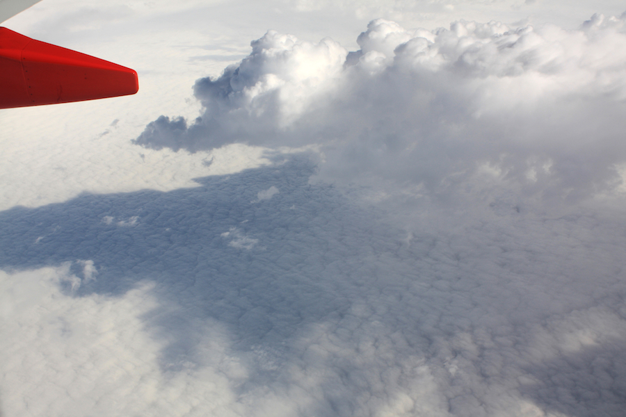
Clouds over Illinois
During our flight, Kevin and I tracked our position for entertainment using his GPS unit. Using that info and the visible image features, I was able to match my flight photos to the geographic topography using Google Earth. This gave me a much more interesting perspective on the following pics taken from above.
|
|
|